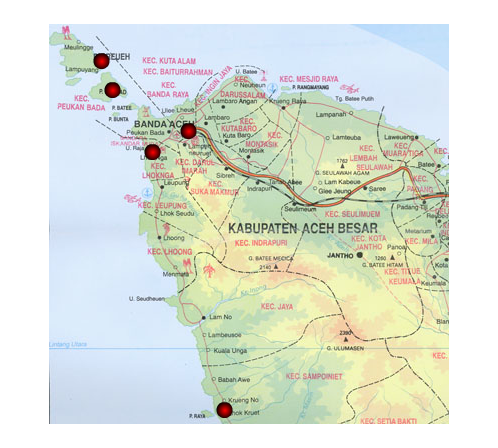
On Sunday December 26, 2004, a great earthquake occurred 250 km southwest of Banda Aceh in northern Sumatra, Indonesia. With a moment magnitude of 9.3, it was the second largest instrumentally recorded earthquake in history. The earthquake generated a large tsunami, which caused extreme inundation and destruction along the northern and western coast of
The tsunami was severe in its destruction at the two sites surveyed along the east coast, while the effects in Banda Aceh and along the west coast can best be described as extreme.